New: MDOC Spring 2021 MapRun Series Challenges for the Spring
Use the free MapRun6 app to add fun and exploration to your outdoor exercise! Note: you must use the new MapRun6 app for the challenges, if you have the old MapRun app, replace it.
Exercise alone or in Covid allowed groups to accept our navigational challenges.
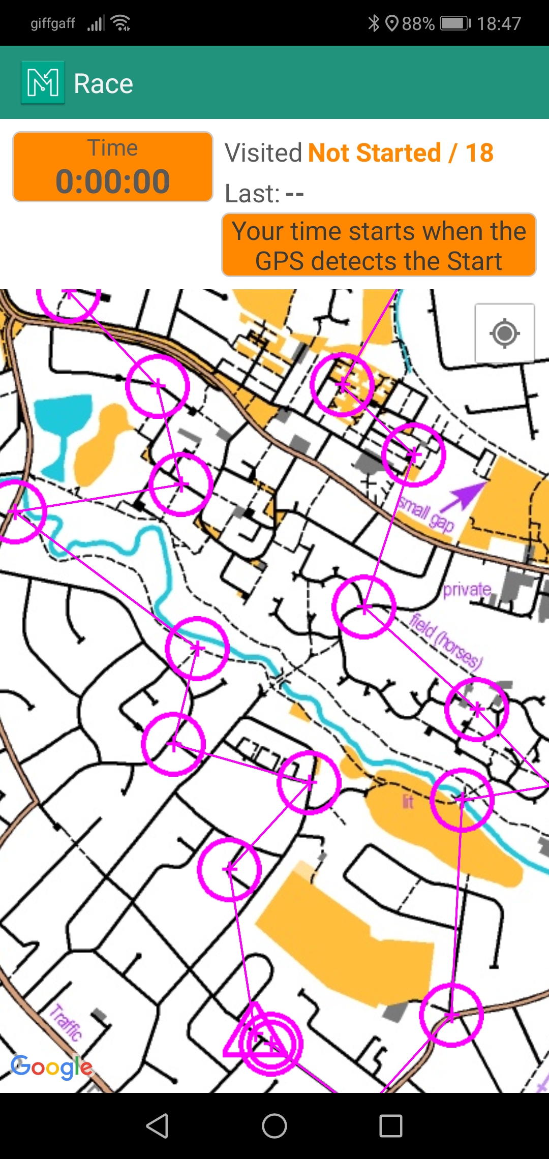
Use a map to walk, run or bike to a number of checkpoints by taking whichever route suits you best. Belt round the long easy way, or find the crafty short way. The decision is yours. Its all part of the navigational challenge. Your route and time will be recorded by the App using your smartphones GPS.
The App will display the map on the phone, but you can also print a paper map from our free pdf download. Dont worry about getting lost, the App will display your location if required.
Our wide variety of challenges will take you outdoors to urban, parkland or countryside environments. See how many postboxes you can visit in an hour, find markers in a public Park, or use a Victorian map to find your way around town. There are lots to choose from - and more to come.
Once you have completed your challenge the App will upload the details to the MapRun website - and to your Strava account if you have one.
![]()
![]()
Please read the Getting Started information, even if you have used the older MapRun app before.